
Mount Juliet Previous Residents by Era
One address needs different sources at different points in time. The Register of Deeds provides the ownership chain, while historical household evidence may appear in a cataloged directory, newspaper, census, probate file, or local archive. The table separates searchable deed material from older browse and archive paths. It also keeps a necessary distinction between a property owner, a recorded party, and a person who may have lived at the address.
| Source | Years it covers | Where held | What it shows |
|---|---|---|---|
| WilsonDeeds deed index and images | November 1984-present, published cutoff | WilsonDeeds | Searchable party and document trail with images |
| Back-scanned index books | April 1925 onward | WilsonDeeds browse mode | Page-by-page land, plat, restriction, and lien indexes |
| Deed images | Image-only material reported back to 1793 | WilsonDeeds and office channels | Recorded instruments, not a uniform name-search run |
| Wilson County Archives | Loose records 1799-1965; microfilm 1802-1965 | 111 S. College Street, Lebanon | Land, court, probate, and related county records |
| Directories, newspapers, and census | Varies by title; federal census 1790-1950 | Catalog, library, archive, and census channels | Household, address, occupation, and family clues |
Start with the present parcel when the question involves an address that still exists. If the period is older than the deed search, use the index books, office, and Archives rather than treating an empty modern result as proof that the property has no earlier history.
Mount Juliet Address Records First
Before tracing previous residents, copy the present address exactly as the Postal Service and assessor display it. On the Tennessee Property Assessment Data search, Wilson County records can be approached by property address, owner name, or parcel ID. The advanced search also exposes owner name, subdivision name, classification, sale dates, control map, group, parcel, and several sort choices. When a street number fails, the property-address field allows a street name without a number.
Save the current owner name, owner mailing address, parcel ID, subdivision and lot, sale date, and deed volume or page if displayed. The owner mailing address can differ from the situs, which is the property address. That difference does not establish who occupies the property. Check the parcel shape and road frontage in the city or county map viewer before linking it to an older deed description.
Note: Record both “Mt. Juliet” and “Mount Juliet” forms if they appear, because older and current sources do not always use the same name.
Mount Juliet Previous Residents in WilsonDeeds
The WilsonDeeds internet access agreement describes inquiry-only access to indexed and imaged material and a 24/7 account-based service. The current inquiry subscription is listed at $35 per month. The important historical limit is a ladder, not one starting date: searchable index-and-image deed material begins in November 1984, back-scanned index books begin in April 1925, and deed images are reported as image-only back to 1793. Plats, trust deeds, liens, greenbelt records, and charters have their own availability cutoffs.
The WilsonDeeds access agreement is shown in this Mount Juliet previous residents research image.
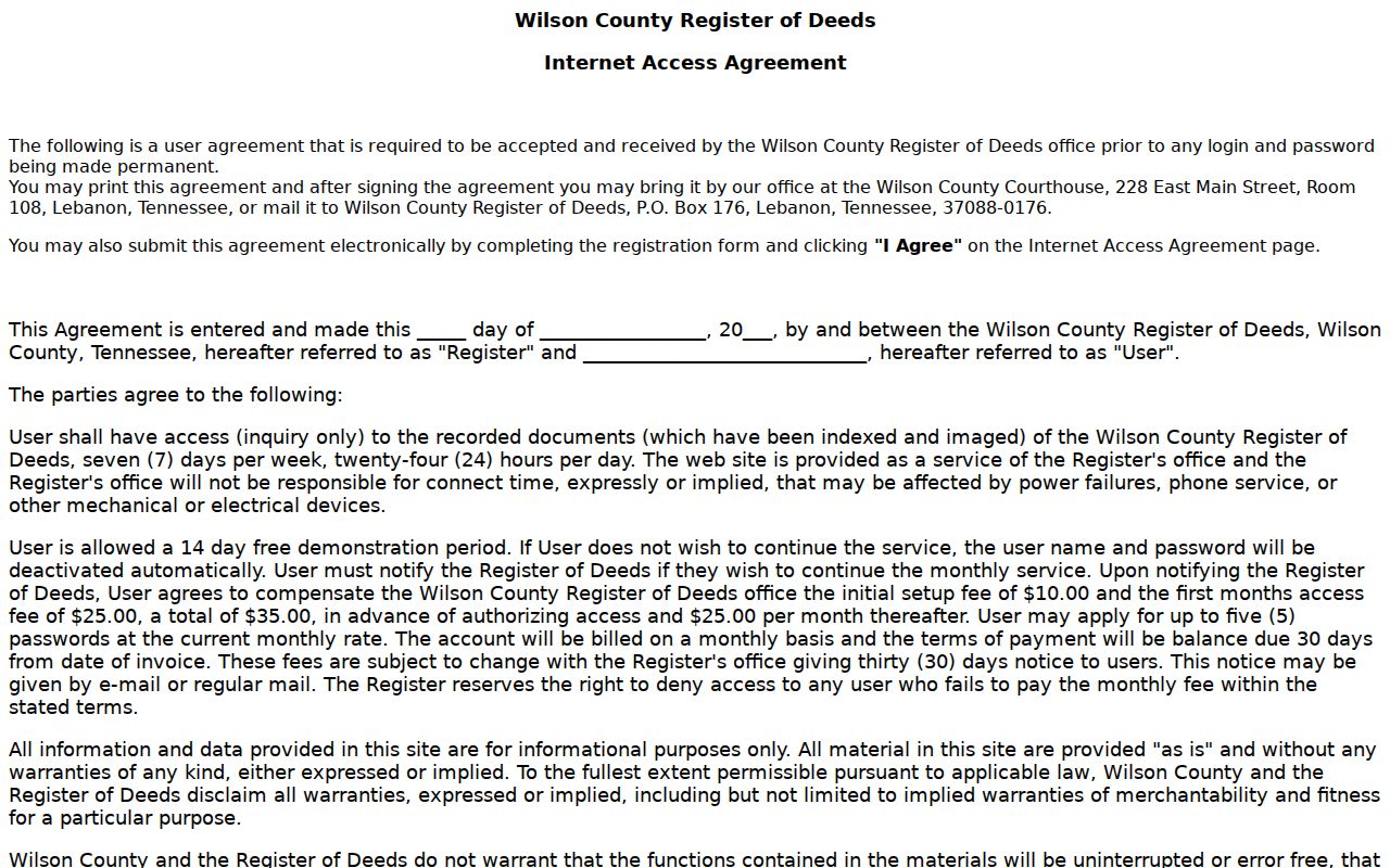
The image confirms the access route, but not the exact dynamic search fields or result behavior. Verify party name, grantor or grantee role, document type, date, and book or page on the live service. A later online cutoff does not erase an older image or an archive copy.
Mount Juliet Previous Resident Address Bridge
Old deeds may describe a lot, tract, subdivision, acreage, or adjoining land instead of a modern street address. A recorded plat supplies the bridge between those systems. Compare the deed's legal description with the current parcel ID, lot, subdivision, tax grid, road frontage, and adjacent parcels. The Mt. Juliet GIS page provides parcel-viewer, annexation, city-limits, subdivision, tax-grid, and detailed street-atlas resources that help orient the comparison.
WilsonDeeds notes a special gap for plat books P9-P17: they do not have an index database and require browsing by book and page. This is one reason a lot or subdivision can be more useful than a street name. Assessment maps and GIS are valuable orientation tools, but the recorded deed and plat are the legal ownership sources.
Mount Juliet has no verified public street-renumbering or renaming year in the research. Do not invent one. If a number or street label changes, preserve every version and follow the legal description and plat rather than forcing an old document into a current address.
Mount Juliet Previous Residents Deed Chain
The backward deed chain begins with the present parcel, then reverses the most recent recorded transfer. A grantor is the person or entity conveying an interest. A grantee is the person or entity receiving it. For a prior owner search, the seller on the later deed becomes the name to locate as an earlier grantee. Keep the legal description, lot, subdivision, and parcel ID aligned at each step so that a similar name or adjacent lot does not create a false chain.
- Use the assessor card and map viewer to capture the current owner, parcel ID, subdivision or lot, sale date, and deed reference.
- Open the current owner's purchase deed in WilsonDeeds and record the grantor, grantee, execution date, recording date, instrument type, legal description, and book, page, or document number.
- Search that seller as a grantee to locate the deed by which the seller acquired the same parcel.
- Repeat one conveyance at a time, comparing the legal description and parcel facts at every transfer.
- Use scanned books, the Register office, or Archives microfilm when the chain reaches an older access boundary.
- Chain of title
- The ordered series of recorded transfers that ties one owner or interest to an earlier one.
- Legal description
- The lot, tract, metes-and-bounds, or subdivision wording used to identify land in the recorded instrument.
- Consideration
- The stated value or exchange term shown when the deed makes it visible; it is not always the same as an assessor sale date.
Mount Juliet Previous Residents Map Check
The Library of Congress Sanborn search guide explains how to search the national fire-insurance map collection by state, city, and date. A relevant map can show building footprints, street names, block or house numbers, building materials, and uses. Those details can help test whether an older address or street pattern fits a parcel trail.
The Library of Congress guide is shown in this Mount Juliet previous residents research image.
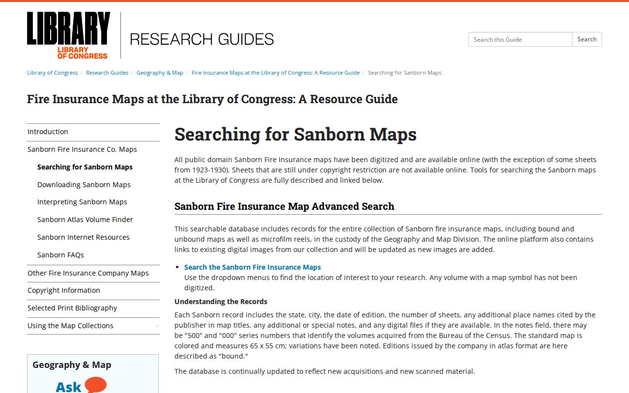
No Mount Juliet-specific Sanborn edition was confirmed in the research. The national collection runs from 1867-1999, but that national date range is not evidence that this city has a particular volume. Search for a Mount Juliet result before claiming coverage, and use a plat or county map when the Sanborn path has no local hit.
Mount Juliet Past Resident Households
Owners are only one layer of an address history. To identify who lived there before, pair the recorded chain with cataloged directory listings, local newspapers, and census schedules. The confirmed Lebanon business-directory span is 1869-1876, and a Lebanon directory is identified for 1927. Mount Juliet's 1915-1916 weekly and commercial news, The Chronicle from 1979-2000, and Mt. Juliet News listings from 2004-2019 and 2019-2021 are alternate dated sources. The collections themselves are detailed on the Mount Juliet city directories page.
Federal census records are available through 1950 under the 72-year release rule. Pair the closest census with a directory or newspaper date, then check whether the names, ages, family relationships, occupation, community label, and address clues fit the deed trail. A city directory may omit renters or rural households, so it should not be used as a complete occupancy list.
Lawful use. Use past-resident records for family history, property history, heir research, or personal curiosity. Do not use an address trail to stalk, harass, or track a living person.
Mount Juliet Previous Resident Endpoints
The Wilson County Archives is the local fallback when online access ends. At 111 S. College Street in Lebanon, its public research room and mail service support older land, court, probate, marriage, election, and family-record work. Its published coverage includes wills from 1802-1964, probate deeds from 1843-1947, guardian settlements from 1836-1958, and guardian bonds or letters from 1853-1961. An obituary, will, or probate file can explain an estate transfer and name heirs where a deed is brief.
The documented 1881 Wilson County courthouse fire is a reason to cross-check, not a basis for guessing which volume was lost. The official fact sheet does not provide a complete fire-loss inventory. Ask the Archives about microfilm, published transcriptions, county record groups, and related material when a chain breaks. Mail requests cost $5 for up to five pages or $15 for research up to 20 pages.
Note: A missing record can reflect a changed office, a catalog gap, or a fire-era continuity problem rather than a missing person or property.
Mount Juliet Previous Residents and Annexation
Mount Juliet was incorporated in 1972 and has continued annexation and urban-growth-boundary activity. An address can therefore appear in an earlier county or unincorporated planning file and later sit inside city limits. That may change which city or county office holds permit or planning material, but the assessor parcel and Register of Deeds identity remain Wilson County records. Preserve both old and new jurisdiction labels in the address timeline.
For construction or occupancy chronology, the appropriate municipal or county building office may hold an address file. The research did not locate a public historical permit index or verified result fields, so request the address file through the appropriate office or the city's Tennessee Public Records Act channel. A permit can date work or name an applicant, but it is not a complete list of residents.