
Mount Juliet ZIP Code Directory Coverage
Four five-digit ZIP Code Tabulation Areas intersect Mount Juliet in the Census profile: 37076, 37090, 37122, and 37138. The official city area map, labeled as of January 1, 2026, identifies 37122 with Mount Juliet, 37138 with Old Hickory, and 37076 with Hermitage. It also shows nearby 37066, 37075, 37087, and 37090 for geographic context. A ZIP code is postal geography, not a declaration of city limits or a list of residents. Verify any individual address with USPS.
| ZIP | Areas Covered | Post Office | Notes |
|---|---|---|---|
| 37122 | Principal Mount Juliet postal area across much of the city and Wilson County side | Mount Juliet postal service; exact station not located | Main Mount Juliet ZIP shown on the official map |
| 37138 | Old Hickory postal area and northwestern Mount Juliet-side geography | Old Hickory postal service; exact station not located | A parcel can be in Mount Juliet while its postal city says Old Hickory |
| 37076 | Hermitage postal area at the western and Davidson-side edge | Hermitage postal service; exact station not located | Postal city and city limit can differ |
| 37090 | Lebanon-area ZIP or ZCTA intersecting Mount Juliet geography in the Census profile | Lebanon postal service; exact station not located | Verify the particular address before calling it a city address |
Nearby 37066, 37075, and 37087 appear on the city map but were not identified by the Census profile as ZIP tabulation areas intersecting Mount Juliet. They are context labels, not a reason to assign a Mount Juliet record to an address. The research did not locate an official local directory of postal stations or a PO-box-only assignment table, so this directory does not make either claim.
Mount Juliet Postal Map Check
The city map is the local geographic cross-check. Mount Juliet GIS maintains city-limits, annexation, subdivision, tax-grid, ZIP, and urban-growth-boundary maps, while Wilson County GIS supplies parcel, road, address-point, city-limit, and subdivision layers. Use those maps to determine municipal or county context after USPS supplies the mailing ZIP. The viewer's exact dynamic controls were not verified, so rely on what the current official interface displays.
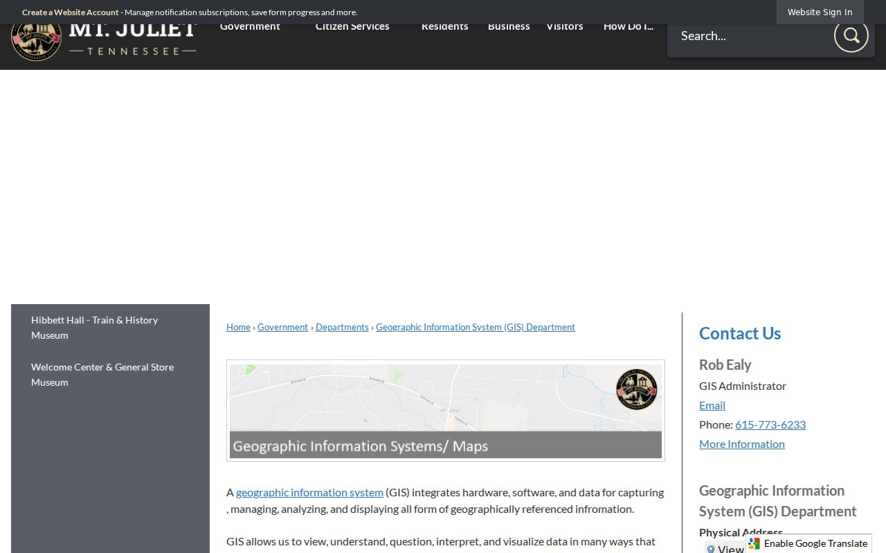
The Mount Juliet GIS department is the source for this city ZIP and parcel-map context.
Compare the parcel's city-limit layer with the USPS-returned ZIP and postal city. Keep both labels when they differ. The map is useful for jurisdiction and location, while USPS remains the authority for a deliverable street address.
Note: A ZIP result does not confirm a person or organization at the address, even when USPS standardizes the address.
Mount Juliet Postal Edges
The useful question is not simply which ZIP is closest. It is whether the mailing label, municipal boundary, and county parcel all describe the same place. The official map places the Old Hickory label with 37138 and the Hermitage label with 37076, both near Mount Juliet geography. The 37090 overlap needs an address-by-address check. Retain an Old Hickory, Hermitage, or Lebanon postal label exactly as returned, then separately report whether the GIS parcel lies inside Mount Juliet city limits.
The official ZIP map also carries the county boundary, city limits, urban-growth boundary, railroad, I-40, and major roads. Those layers explain why a local postal label can cross a civic boundary.
That distinction matters for finding the right custodian. A property question generally begins with Wilson County assessment and deed records, whereas a city planning or permit question may depend on city limits or the urban-growth boundary for the relevant date. The street-by-street parcel chain is covered in the Mount Juliet street directory once the ZIP has been narrowed to a particular address.
Mount Juliet ZIP Boundary Myth
Myth. A Mount Juliet postal label proves that a property lies inside the city. Postal routing and municipal boundaries are different systems. The official map's 37138 Old Hickory and 37076 Hermitage labels show why a nearby postal place name can coexist with Mount Juliet geography, while 37090 requires an individual address check. The same caution runs in the other direction: a Mount Juliet label alone does not settle the parcel's city-limit status.
Use the postal result for delivery, the GIS city-limit and county layers for jurisdiction, and the assessor parcel for the property identifier. Those three checks produce a clearer record than trying to make one label serve all three roles.
Search a Mount Juliet ZIP
Use a ZIP to verify geography, then move to an address or parcel record. No documented official Mount Juliet portal turns a ZIP into a citywide resident roster. The USPS ZIP Lookup accepts a complete address, city and state, or a ZIP. Its address mode accepts a street address with city and state or with ZIP, plus an optional apartment or suite. USPS marks required fields and standardizes the returned address, but warns that a ZIP result does not confirm a person or organization at that address.
- Enter the complete delivery address in USPS and record the ZIP, postal city, and standardized address returned.
- Enter the standardized address in TPAD, then preserve the parcel ID, subdivision, lot, owner field, and transfer reference that the property record displays.
- Check city limits, county context, subdivision, and map layers in the Mount Juliet or Wilson County GIS viewer.
- Use WilsonDeeds for a recorded ownership trail when the assessment result gives a transfer deed reference or legal description.
- For a named voter confirmation, use the county, first name, last name, birth month, and birth year required by the state lookup. ZIP alone will not run that search.
This keeps three columns of evidence separate: USPS postal ZIP and city, Census ZCTA context, and municipal or county jurisdiction from GIS. A different postal-city label does not erase the parcel's actual map location. It simply means the postal system and local government use different geographic systems.
Mount Juliet Postal Search Fields
Search-field limits are as useful as available fields. TPAD exposes property address, owner name, subdivision, classification, sale date, and parcel components, but the research did not find a dedicated ZIP filter in its advanced text. The voter lookup also does not search by ZIP. It requires a specific person's identity fields. Use a ZIP as a geographic check, not as an assumed filter that every local record system accepts.
| Official tool | Available input | Required status | Result and limit |
|---|---|---|---|
| USPS ZIP Lookup | Complete address; city and state; or ZIP, with optional apartment or suite in address mode | USPS marks required fields with an asterisk | Returns a standardized postal result, not occupancy proof |
| TPAD | Property address, owner, parcel, subdivision, classification, sale date, and map or parcel components | Advanced fields are optional | No dedicated ZIP filter documented in the exposed form |
| Tennessee Voter Registration Lookup | County, first name, last name, birth month, and birth year | All five identity fields required | Individual registration confirmation, not ZIP browsing |
Health-license and Commerce verification tools offer city, state, ZIP, or county modes for their own professional or business records. They are not a population list or a citywide resident directory. When the property search does not match the postal address, retry the address without a number, then use its subdivision, owner, or parcel components.
Mount Juliet ZIP Map Layers
Each identifier has a separate purpose. A situs address locates a parcel. An owner mailing address directs assessment mail. A legal description controls the recorded deed, while a parcel or map ID connects the assessor card to GIS. A lot, block, or subdivision connects to a plat. The ZIP directs mail. None substitutes for the others.
Wilson County GIS lists city limits for Mount Juliet, Lebanon, and Watertown as separate layers, alongside roads, parcels, address points, zoning, districts, UGB, and subdivisions. The city also publishes a detailed street atlas with a grid, streets, parcels, address points, county boundary, and city limits. Use original recorded documents for legal or survey questions, as the atlas disclaimer directs.
Mount Juliet ZIP Annexation Clues
Annexation can change the city planning context without changing the Wilson County deed or assessor source. Official 2025 notices identified properties by street address plus map and parcel references, including locations on Nonaville Road, Old Lebanon Dirt Road, Lebanon Road, Benders Ferry Road, and Central Pike. Those identifiers are the durable link when an address is analyzed across city-limit, urban-growth-boundary, and postal maps.
Use the relevant Mount Juliet notice calendar with the parcel record to retain the effective date and prior jurisdiction. Do not infer a ZIP change or street renumbering from an annexation notice. The research found no official citywide renumbering year or system.
Note: Map and parcel references are stronger continuity clues than a changed postal label when comparing records over time.
Limits of Mount Juliet ZIP Code Directory
A ZIP does not prove incorporation, ownership, or residence. It describes postal routing. The 37122, 37138, 37076, and 37090 areas can inform a search, but an individual address must still be checked with USPS and mapped against city and county layers. This is why an Old Hickory, Hermitage, Lebanon, or Mount Juliet postal label should be reported alongside, not substituted for, the parcel jurisdiction.
- ZIP versus ZIP+4
- The five-digit ZIP directs mail to a broad postal area. ZIP+4 adds a more specific delivery segment.
- PO-box ZIP
- A ZIP assigned for post-office boxes rather than proving that a street address uses that ZIP. No local assignment table was located.
- Unique ZIP
- A ZIP assigned to one organization or institution. The research did not identify a Mount Juliet example.
- Carrier route
- A postal delivery grouping. It is not a city boundary or a resident list.
When a ZIP has narrowed the right area, shift to the official parcel, deed, or city records channel that matches the question. The ZIP code directory should end at the boundary between postal geography and a claim about a person.